Introduction
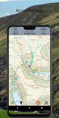
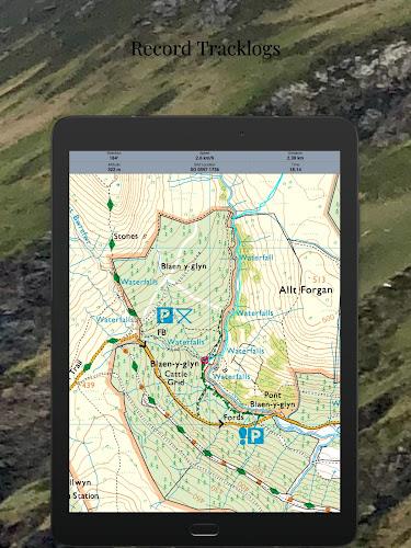
Introducing 7 Day Free Trial - Offline Ordnance Survey Maps, the ultimate app for exploring Great Britain with offline maps and GPS functionality. Available on Android, PC, iOS, and macOS, this Outdoor Map Navigator app allows you to access the OS maps you subscribe to and plan routes across multiple devices. With the ability to download maps for offline use, see real-time position on Ordnance Survey maps, record tracklogs, and plot and edit routes, this app offers a fully-featured experience. Access the latest Ordnance Survey maps, choose from high definition or standard definition options, and enjoy superfast map rendering. Sync your routes and maps effortlessly between platforms with AnquetCloud. Download now to start your adventure!
Features of the App:
- 7-day free trial: Users can try out the app for free for 7 days before deciding to subscribe.
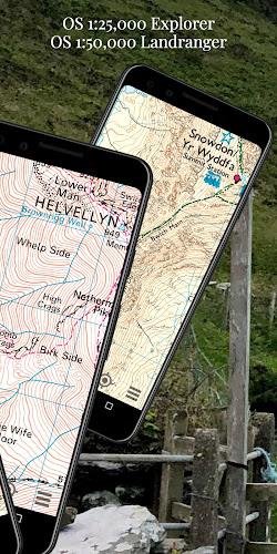
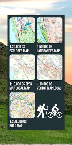
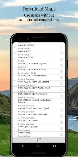
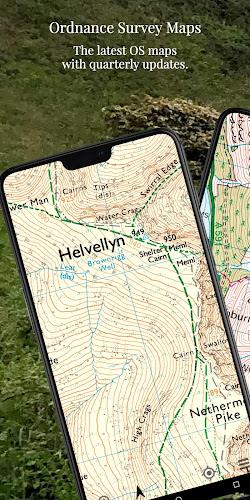
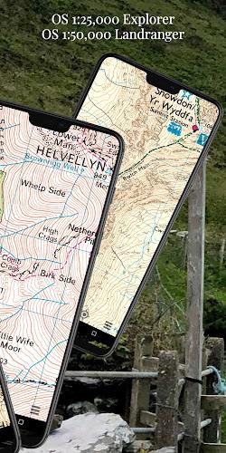
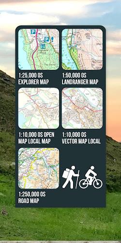
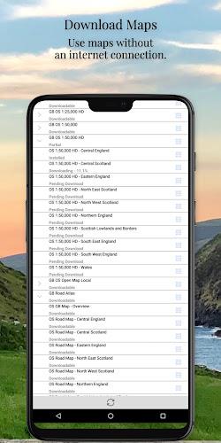
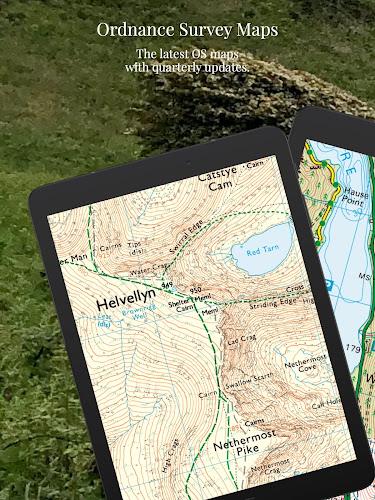
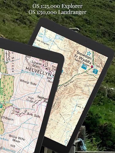
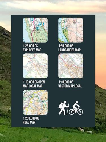
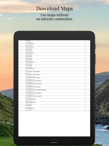
- Offline Ordnance Survey Maps: The app provides offline access to high-definition and standard-definition Ordnance Survey maps of Great Britain.
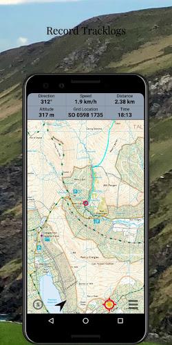
- GPS functionality: Users can see their real-time position on the latest Ordnance Survey maps using the GPS feature.
- Multi-platform compatibility: The app is available on Android, PC, iOS, and macOS, allowing users to access their maps and routes on multiple devices.
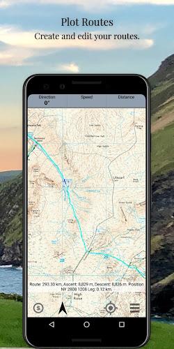
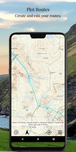
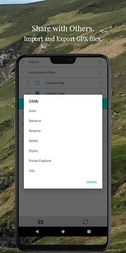
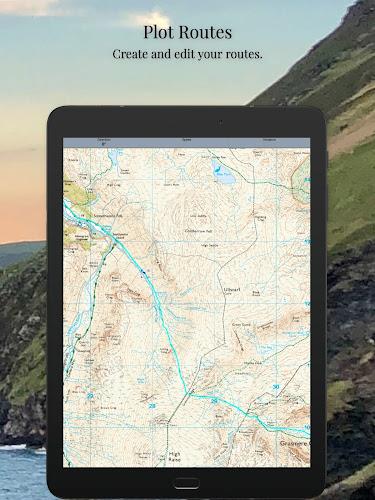
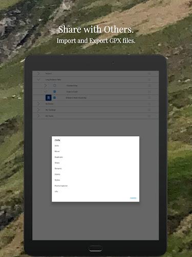
- Route planning and editing: Users can plot, edit, and style their routes, and choose from over 200 icons for waypoints. They can also import and export data in the industry-standard GPX file format.
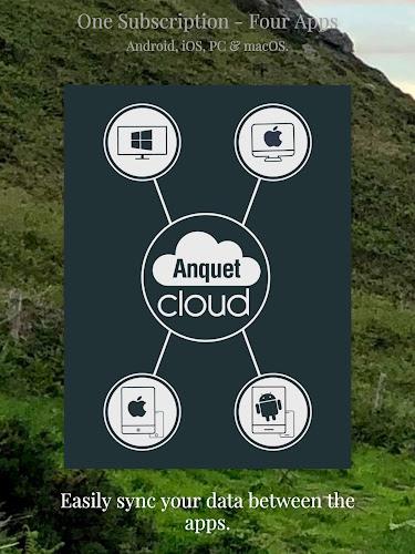
- Syncing and cloud storage: Users can sync their routes and maps between all the app platforms via Anquet Cloud. They can also save routes and tracks and access them on other devices through the cloud.
Conclusion:
With the 7-day free trial, offline access to Ordnance Survey maps, and GPS functionality, this app provides a comprehensive solution for outdoor map navigation in Great Britain. Its availability on multiple platforms and the ability to sync data through Anquet Cloud make it convenient for users to access their maps and routes across their devices. The app also offers robust route planning and editing features, as well as cloud storage for easy data management. Overall, this app is a valuable tool for outdoor enthusiasts and offers a user-friendly experience across different devices.
- No virus
- No advertising
- User protection
Information
- File size: 19.86 M
- Language: English
- Latest Version: 3.0
- Requirements: Android
- Votes: 54
- Package ID: com.anquet.omn3
Screenshots
Explore More
Explore the world with confidence using our intuitive map software. Navigate unfamiliar cities, find hidden gems, and plan adventures with ease. Our powerful apps feature robust offline functionality, real-time traffic updates, and crowd-sourced points of interest. Customize maps to match your needs - save favorite locations, download areas for offline access, and share recommendations.

BMP 2.0

TravelBoast

GameKeyboard +

English Bhagavad Gita

Air Navigation Pro

Watch Duty (Wildfire)

RoadStr

Kansas State Fair
You May Also Like
Comment
-
As a walks leader I find this software the best I've used yet. Excellent product and a must for anybody that navigates with a smartphone or plans walks on the pc.2024-01-11 13:56:47
-
Used for many years happily previously, was drawn away to the osmaps app for a year, which never worked. OMN Works on my pixel and works well2024-01-09 17:19:09
-
Not consistently working and unable to locate simple places near by. Difficulty unsubscribing this app too.2024-01-09 03:42:47
-
Best app I have found for navigation. I found it really useful and easy to use. Wouldn't go up a hill without it.2024-01-07 17:38:48
-
I am happy with the App. I have been enjoying all its features, very impressive improvements have been made. I totally recommend this one.2024-01-07 14:47:09
-
Very clunky interface. The screenshots look great but not user friendly when downloading maps2024-01-04 12:56:24


