Introduction
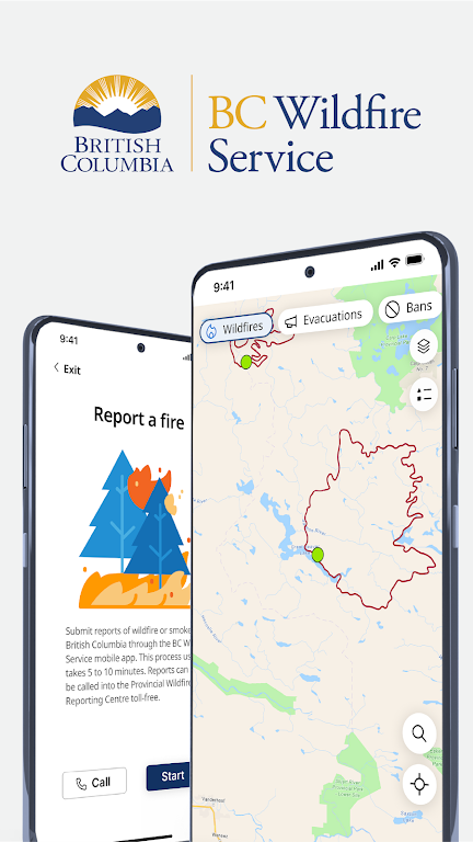
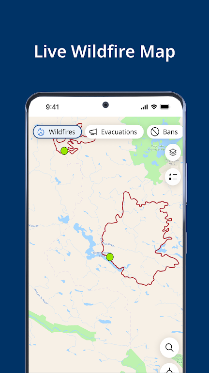
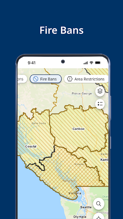
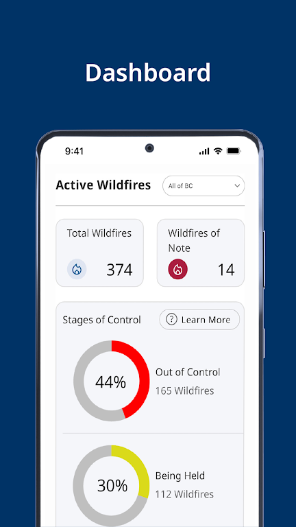
The BC Wildfire Service App is your ultimate tool for staying informed and prepared during wildfire season in British Columbia. With its interactive wildfire map, you can easily view current wildfire perimeters, burn prohibitions, smoke forecasts, weather conditions, evacuation information, and road conditions all in one place. The app also features a handy wildfire dashboard that provides updates from the BC Wildfire Service, incident statistics, and daily situation reports during peak fire season. You can even save your favorite locations and receive customizable notifications for evacuation orders, new wildfires, weather updates, and fire prohibitions. Plus, with the in-app incident reporting feature, you can quickly and easily report a fire, even offline. Don't get caught off guard by wildfires - stay informed with the BC Wildfire Service App.
Features of BC Wildfire Service:
⭐️ Interactive Wildfire Map: The app provides a user-friendly map that displays important information about ongoing wildfires, such as their perimeters, burn prohibitions, smoke forecasts, weather conditions, evacuation information, road conditions, and more. This map allows users to easily stay informed about wildfires across British Columbia.
⭐️ Wildfire Dashboard: The app includes a dashboard that provides updates directly from the BC Wildfire Service. Users can access incident statistics and the daily situation report during peak fire season, ensuring they have the most up-to-date information at their fingertips.
⭐️ Saved Locations and Saved Incident Information: With this feature, users can save specific locations and receive notifications about evacuation orders, alerts, burn prohibitions, new wildfires, weather updates, fire prohibitions, and more for those saved locations. This allows users to personalize their experience and stay informed about areas of particular interest to them.
⭐️ Report a Fire: The app allows users to report a fire directly from within the app. This feature ensures that users can quickly and easily provide crucial information about wildfires they come across, even when offline. This helps to improve response times and ensure the accuracy of wildfire reporting.
⭐️ Notifications: Users can customize their notifications to receive updates on specific topics, such as evacuation orders, burn prohibitions, and new wildfires. This feature ensures that users stay informed about the latest developments without being overwhelmed with unnecessary information.
⭐️ Offline Mode: The app allows offline reporting of fires, ensuring that users can report wildfires even when they don't have an internet connection. This feature is crucial in remote areas or during emergencies when access to the internet may be limited.
In conclusion, the BC Wildfire Service App is a must-have for anyone living in or visiting British Columbia. With its interactive wildfire map, dashboard, saved locations, and incident information, users can easily stay informed about ongoing wildfires and make informed decisions about their safety. The ability to report a fire within the app, customizable notifications, and offline mode functionality further enhance the app's usability and ensure that users have access to timely and accurate information. Download the app now to stay informed and prepared during wildfire seasons.
- No virus
- No advertising
- User protection
Information
- File size: 25.48 M
- Language: English
- Latest Version: 1.8.0
- Requirements: Android
- Votes: 363
- Package ID: ca.bc.gov.WildfireInformation
- Developer: Province of British Columbia, Canada
Screenshots
Explore More
Be prepared and plan your days better with our new weather app. Get real-time hyperlocal forecasts, customizable alerts and widgets, and detailed hourly projections. Beautiful photo backgrounds change dynamically based on conditions. Intuitive radar and satellite imagery help you visualize storms and patterns. Get humidity, precipitation probability, pollen count, and other useful data at a glance. Save favorite locations like home, work, or travel destinations for quick access.

RailTrip (PasseGares)

Launcher OS Pro

Crossbar

Launcher OS™

Air Navigation Pro

New Orleans News from WWL

WHIO Weather

Live Weather Radar Launcher
You May Also Like
Comment
-
Installed this app for the sole purpose of getting notifications. Can't even set them up, because when it prompts me to press "Add Location" to create a new location, nothing happens when I press the button.2024-05-25 06:41:24
-
Lags alot and takes longer to access fire size2024-05-24 13:55:53
-
Since the upgrade, the app is glichy. Cannot zoom in on map, closes for no reason, freezes.2024-05-22 20:52:15
-
Are they trying to kill us? It makes me really frightened how bad this is. just go back to 2 years ago ffs.2024-05-22 20:12:44
-
Even though I had to put a star to add this review, this app gets zero stars from me. Updated to the new version and it is now unuseable. The old version wasn't the greatest but now it totally sucks2024-05-22 19:18:20
-
Very useful and possibly lifesaving app.2024-05-22 16:36:39


