Introduction
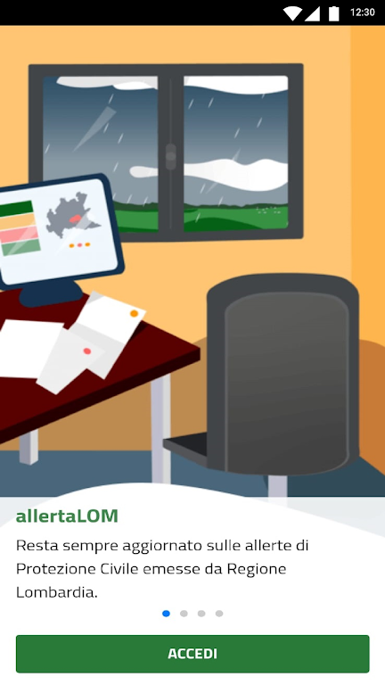
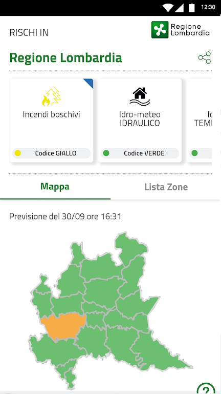
Stay informed and protected with allertaLOM, the Lombardy Region App. With allertaLOM, you can receive important Civil Protection alerts issued by the Lombardy Region Natural Risk Monitoring Functional Center. Be prepared for natural events that could potentially damage your area. The app provides alerts for a variety of risks including hydrogeological, hydraulic, storms, wind, snow, avalanches, and forest fires. These alerts come in different levels of severity, indicated by color codes. allertaLOM is not just for the Civil Protection system, but also for you, the citizen. Stay updated, follow the evolution of alerts on a map, receive notifications, and access relevant documents. Your safety matters, so download allertaLOM now.
Features of allertaLOM:
⭐️ Stay up to date on Civil Protection alerts in Lombardy: The app provides real-time updates on the alerts issued by the Lombardy Region Natural Risk Monitoring Functional Center. Users can stay informed about any potential natural risks in their area.
⭐️ Monitor alert situation on preferred municipalities or the whole region: Users have the option to monitor the alert situation in specific municipalities or the entire Lombardy region. This allows them to have a clear understanding of the level of risk in their chosen areas.
⭐️ Follow the evolution of alert levels on a map over 36 hours: The app provides a visual representation of the alert levels on a map, allowing users to track the progression of the risk over a 36-hour period. This feature helps users assess the severity and potential impact of the natural events.
⭐️ Receive notifications for alerts issued in preferred municipalities: Users can set their preferred municipalities and receive notifications whenever alerts are issued for those areas. This ensures that they are promptly informed and can take necessary self-protection measures.
⭐️ Download and consult alert documents: The app allows users to download and access the alert documents issued by the local Civil Protection system. These documents provide detailed instructions on how to activate necessary countermeasures outlined in the Municipal Civil Protection Plans.
⭐️ Easy to use interface: The app is designed with a user-friendly interface, making it accessible and simple to navigate for all users. The intuitive design ensures that users can quickly find the information they need and take necessary actions.
Conclusion:
Get real-time updates on Civil Protection alerts in Lombardy, monitor the situation in your preferred municipalities or the whole region, and track the evolution of alert levels on a map. Receive notifications for alerts in your chosen areas and access alert documents for detailed instructions. Download the app now to ensure your safety and be prepared for any potential natural risks in Lombardy.
- No virus
- No advertising
- User protection
Information
- File size: 11.05 M
- Language: English
- Latest Version: 1.8.3
- Requirements: Android
- Votes: 230
- Package ID: it.lispa.sire.app.mobile.allertalom
Screenshots
Explore More
Explore the world with confidence using our intuitive map software. Navigate unfamiliar cities, find hidden gems, and plan adventures with ease. Our powerful apps feature robust offline functionality, real-time traffic updates, and crowd-sourced points of interest. Customize maps to match your needs - save favorite locations, download areas for offline access, and share recommendations.

BMP 2.0

TravelBoast

GameKeyboard +

English Bhagavad Gita

Air Navigation Pro

Watch Duty (Wildfire)

RoadStr

Kansas State Fair


