Introduction
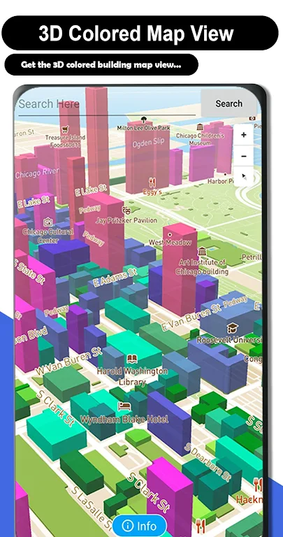
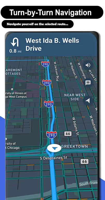
Live GPS Satellite View Maps is a powerful app that allows you to explore the world in real-time through satellite imagery. With accurate current location tracking, you can see 3D satellite maps and live web cameras from multiple locations. The app also features a 3D building color map that differentiates building heights, providing detailed information. You can customize the app by selecting your desired language and access voice travel navigation for easy directions. With live updates on traffic alerts, turn-by-turn voice commands, and a satellite map feature, this app is your ultimate travel companion. Explore the world, find nearby attractions, and navigate effortlessly with Live GPS Satellite View Maps.
Features of Live GPS Satellite View Maps:
* Accurate Real-Time GPS Location: Live GPS Satellite View Maps provides accurate and up-to-date GPS location information, allowing users to easily find their current location on the map.
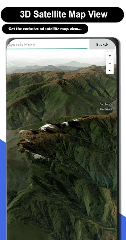
* 3D Satellite Maps: Users can enjoy stunning 3D satellite maps that provide a realistic and immersive view of the world. The maps are detailed and allow users to explore any location with precision.
* Live Web Cameras: The app integrates live web cameras from multiple locations, allowing users to see real-time footage of various places around the world. This feature provides a unique and interactive way to explore different destinations.
* Multi-Language Support: Live GPS Satellite View Maps supports multiple languages, allowing users to view maps and navigate in their preferred language. This feature ensures a user-friendly experience for individuals from different language backgrounds.
Tips for Users:
* Explore in 3D: Take full advantage of the app's 3D satellite maps feature to explore different locations in a more immersive and realistic way. Zoom in and out, rotate the map, and get a comprehensive view of your surroundings.
* Use Live Web Cameras: Take a virtual tour of various places by accessing the live web cameras feature. Check out popular tourist attractions, famous landmarks, and scenic spots from the comfort of your own device.
* Customize Language Settings: Make sure to set your preferred language in the app's settings to ensure a more personalized experience. This will allow you to navigate and understand the maps in a language that you are comfortable with.
Conclusion:
Live GPS Satellite View Maps is a comprehensive navigation app that offers accurate GPS location information, stunning 3D satellite maps, live web cameras, and multi-language support. With this app, users can easily find their current location, explore different places in 3D, view real-time web camera footage, and navigate in their preferred language. Whether you're traveling, exploring new cities, or simply curious about the world, Live GPS Satellite View Maps provides an interactive and informative experience. Download the app now and start your virtual journey around the globe.
- No virus
- No advertising
- User protection
Information
- File size: 15.80 M
- Language: English
- Latest Version: 4.0.2
- Requirements: Android
- Votes: 177
- Package ID: com.live.gpssatellie.trafficmaps.route.track
- Developer: The Apps Land
Screenshots
Explore More
Make travel planning effortless with our all-in-one trip companion app! Get insider tips from locals on top attractions, hidden gems, restaurants, and accommodations at your destination. Book flights, rental cars, and hotels at the lowest prices. Access maps offline; track bookings, itineraries, and reservations; create shared group trips; and auto-translate menus, signs, and conversations abroad. Our clever algorithms surface personalized recommendations everywhere you go.

Roger

Poparide

Radio Hong Kong

Bedtime Bible Stories for Kids

BusOnlineTicket.com

Geevoo

iShala

BuscoUnChollo


