Introduction
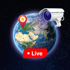
Live Earth 3D Map GPS Camera is a mapping and camera tool that overlays GPS coordinates and compass data on a 3D globe and on live camera images. Live Earth 3D Map GPS Camera shows current location, elevation, and heading, and lets you capture geotagged photos for reference and documentation. Live Earth 3D Map GPS Camera includes map markers, route recording, and options to export or share location data through standard Android intents.
Key features
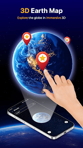
- 3D globe and map views — tilt, rotate and zoom for context.
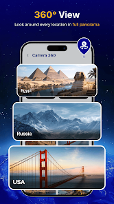
- Camera overlay — capture photos with visible GPS coordinates and bearing.
- Route and markers — record tracks, add waypoints, and view saved locations.
- Offline maps — cache map tiles for areas with limited connectivity.
- Data export — export recorded tracks and share using other apps.
Usage and privacy
The app requires access to location and camera to provide mapping and photo overlay functions; files and recorded tracks are stored on your device unless you choose to share them. You can control location accuracy and storage settings in the app and revoke permissions at any time through Android system settings. Enable GPS and grant camera permission when prompted for full functionality.
- No virus
- No advertising
- User protection
Information
- File size: 71.00 M
- Language: English
- Latest Version: 2.0
- Requirements: Android
- Votes: 218
- Package ID: ai.livecamera.earthmap.streetview.gpsnavigation.wo
- Developer: 368 Phuc Minh Investment
Screenshots


Explore More
Explore the world with confidence using our intuitive map software. Navigate unfamiliar cities, find hidden gems, and plan adventures with ease. Our powerful apps feature robust offline functionality, real-time traffic updates, and crowd-sourced points of interest. Customize maps to match your needs - save favorite locations, download areas for offline access, and share recommendations.
View more