Introduction
Introducing GPS Waypoints Navigator | MAPS. Whether you're an adventurer, a city slicker, or a seafarer, this app has got you covered. With visually appealing maps and offline access, you can explore uncharted territory or sail the seas without worrying about internet connection. The innovative filing system makes organizing waypoints a breeze, and with over 400 maps to choose from, you'll always find the perfect one. Share your trails and experiences easily with the support for various file formats, and enhance your navigation with compasses, waypoint creation tools, and more. For seafarers, NOAA Nautical Charts and OpenSeaMap provide all the information you need. Measure distances, track the moon's phase, and stay updated on weather changes with the app's measuring instruments.
Features of GPS Waypoints Navigator:
- Advanced GPS with visually appealing maps: Transform your phone into a powerful GPS with visually appealing maps to navigate uncharted territory, sail the seas, or get around town.
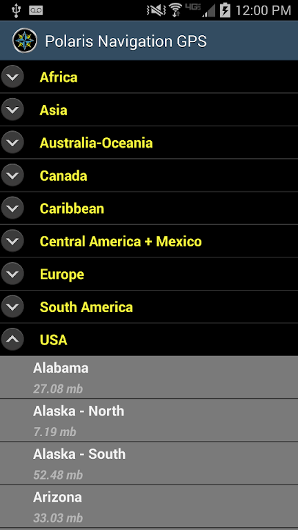
- Offline map downloading: Download maps for offline use and store them on external storage devices, eliminating the need for an internet connection while exploring outdoors.
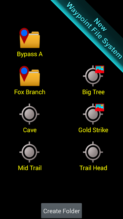
- Flexible waypoint organization: Easily plot and organize routes with innovative filing systems. Use waypoints to document hikes, share locations with friends, or go geocaching. Choose from over 400 maps in the 3D vector map library.
- Data import/export and sharing: Share trails, waypoints, photographs, and comments effortlessly using KML, GPX, and KMZ file formats. View and explore your data on Google Earth for an enhanced navigational experience.
- Nautical navigation features: Perfect for seafarers, with support for NOAA Nautical Charts, OpenSeaMap, and nautical unit reporting. Set sail, pilot a boat, or yacht confidently, and navigate using various coordinate systems.
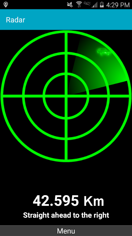
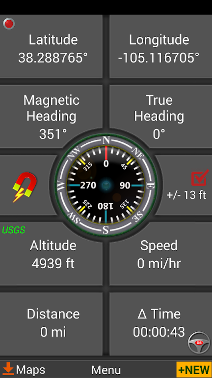
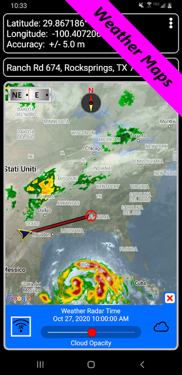
- Measuring instruments and weather tracking: Measure distances and bearings between points, keeping you on track during treks or bike rides. Stay updated on weather changes with the moons rising and setting times and its phase plotted on the weather map.
Conclusion:
GPS Waypoints Navigator | MAPS is the ultimate companion for outdoor adventurers, offering advanced GPS capabilities, offline map downloading, flexible waypoint organization, and seamless data sharing. Whether you're exploring on land or sea, this app provides comprehensive navigational features, including support for nautical navigation and accurate measurement instruments. Stay informed about weather changes and track your progress with ease. Say goodbye to getting lost with this all-in-one navigational tool. Download GPS Waypoints Navigator | MAPS now and start your journey today.
- No virus
- No advertising
- User protection
Information
- File size: 18.17 M
- Language: English
- Latest Version: 9.30
- Requirements: Android
- Votes: 106
- Package ID: com.discipleskies.android.gpswaypointsnavigator
Screenshots
Explore More
Be prepared and plan your days better with our new weather app. Get real-time hyperlocal forecasts, customizable alerts and widgets, and detailed hourly projections. Beautiful photo backgrounds change dynamically based on conditions. Intuitive radar and satellite imagery help you visualize storms and patterns. Get humidity, precipitation probability, pollen count, and other useful data at a glance. Save favorite locations like home, work, or travel destinations for quick access.

RailTrip (PasseGares)

Launcher OS Pro

Crossbar

Launcher OS™

Air Navigation Pro

New Orleans News from WWL

WHIO Weather

Live Weather Radar Launcher


