Introduction
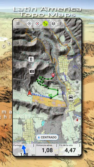
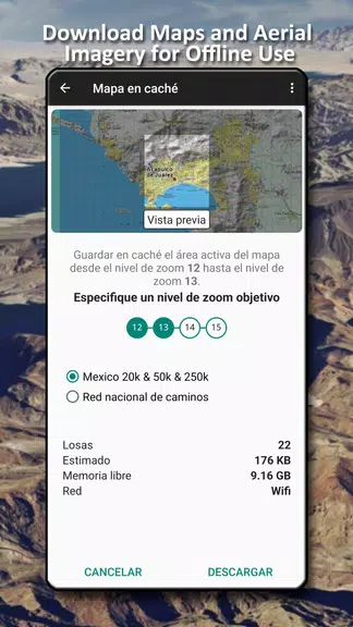
Experience the great outdoors like never before with Latin America Topo Maps that provides you with free access to topographic maps for most parts of Latin America. With a variety of map layers to choose from including topographic maps, aerial images, and nautical charts, you can easily plan the perfect trip and turn your Android device into an outdoor GPS for offline adventures. Easily add maps from other sources and enjoy worldwide accurate and detailed maps right at your fingertips. Whether you're exploring Mexico, Brazil, Argentina, or any other country in Latin America, this app has got you covered. Get ready to embark on your next outdoor journey with confidence and ease!
Features of Latin America Topo Maps:
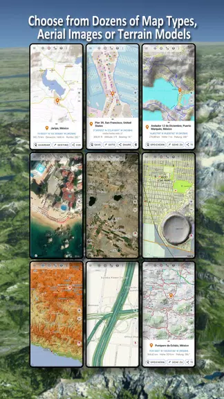
❤ Extensive coverage: Latin America Topo Maps offers free access to a wide range of topographic maps for most parts of Latin America. Users can choose from a variety of map layers including topographic maps, aerial images, and nautical charts, making it easy to plan the perfect outdoor adventure.
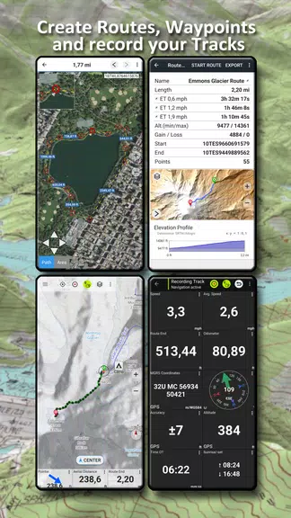
❤ Easy to use: This outdoor navigation app is designed to be user-friendly, allowing even novice adventurers to turn their Android phone or tablet into a GPS for offline trips into the backcountry. With a simple interface and intuitive features, users can easily navigate through different map layers and add maps from various sources.
❤ Detailed and accurate maps: Latin America Topo Maps provides detailed and accurate topographic map layers for countries like Mexico, Brazil, Argentina, Peru, Chile, and many more. Whether you're exploring the mountains of Peru or the rainforests of Brazil, you can rely on these maps to guide you through your outdoor excursions with confidence.
❤ Versatile map layers: In addition to topographic maps, users can also access worldwide basemap layers such as OpenStreetMaps, Google Maps, Bing Maps, Waze Roads, and Earth At Night. This variety allows for a customizable mapping experience, where users can choose the most suitable map layout for their specific needs.
FAQs:
❤ Can I access the most recent maps using Latin America Topo Maps?
Yes, users can access the most recent maps by using OpenStreetMap, Google, or Bing layers within the app.
❤ Can I import maps from other sources?
Yes, users can easily import raster maps in GeoPDF, GeoTiff, MBTiles, or Ozi formats, as well as add web mapping services like WMS or WMTS/Tileserver.
❤ Are there overlay options available for comparing maps?
Yes, users can configure a basemap layer as an overlay and utilize a transparency fader to seamlessly compare maps with each other.
Conclusion:
With its extensive coverage, ease of use, detailed and accurate maps, and versatile map layers, Latin America Topo Maps is the ideal companion for outdoor enthusiasts looking to explore the beauty of Latin America. Whether you're hiking in the Andes, camping in the Amazon, or exploring the beaches of Brazil, this app provides all the tools you need for a successful and memorable adventure. Download it today and start planning your next outdoor journey with confidence.
- No virus
- No advertising
- User protection
Information
- File size: 17.90 M
- Language: English
- Latest Version: 7.5.0
- Requirements: Android
- Votes: 127
- Package ID: com.atlogis.centralamerica.free
- Developer: ATLOGIS Geoinformatics GmbH & Co. KG
Screenshots
Explore More
Equip yourself with our all-in-one toolbox app for everyday tasks and projects. Instantly convert between units, calculate tips, scan documents, manage files, and more with handy productivity tools. Includes a level, compass, QR code reader, ruler, speedometer, decibel meter, and flashlight. Save frequently used tools to your customizable dashboard for one-tap access. Track billable hours, wages, budgets, and invoices. Annotate screenshots, magnify labels, and sign PDFs on the go.

Trace and Draw Sketch Drawing

Future Self Face Aging Changer

Same Notification - Parental
GoldSeeker - Metal Detector

Voice Recorder, Voice Memos

Psychological concepts

Heyo

Kilid


