
Introduction
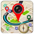
gps maps camera compass is a multifunctional navigation utility that combines mapping, GPS tracking, camera integration, and a digital compass into a single Android app. It streamlines route planning, location capture, and orientation tools for hikers, drivers, surveyors, and everyday users in a compact, easy-to-use package.
What the app does
At its core, gps maps camera compass blends four practical tools: offline and online maps, real-time GPS coordinates, a camera overlay for geo-tagged photos, and a responsive compass. The app targets users who need reliable positioning without switching between several applications during fieldwork or travel.
Key tools and capabilities
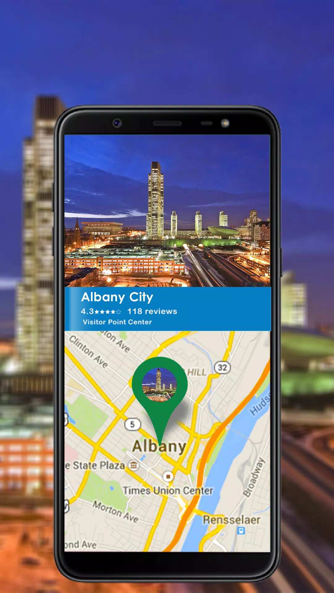
- Detailed maps: Zoomable maps with multiple tile sources and offline caching to avoid data gaps when signal drops.
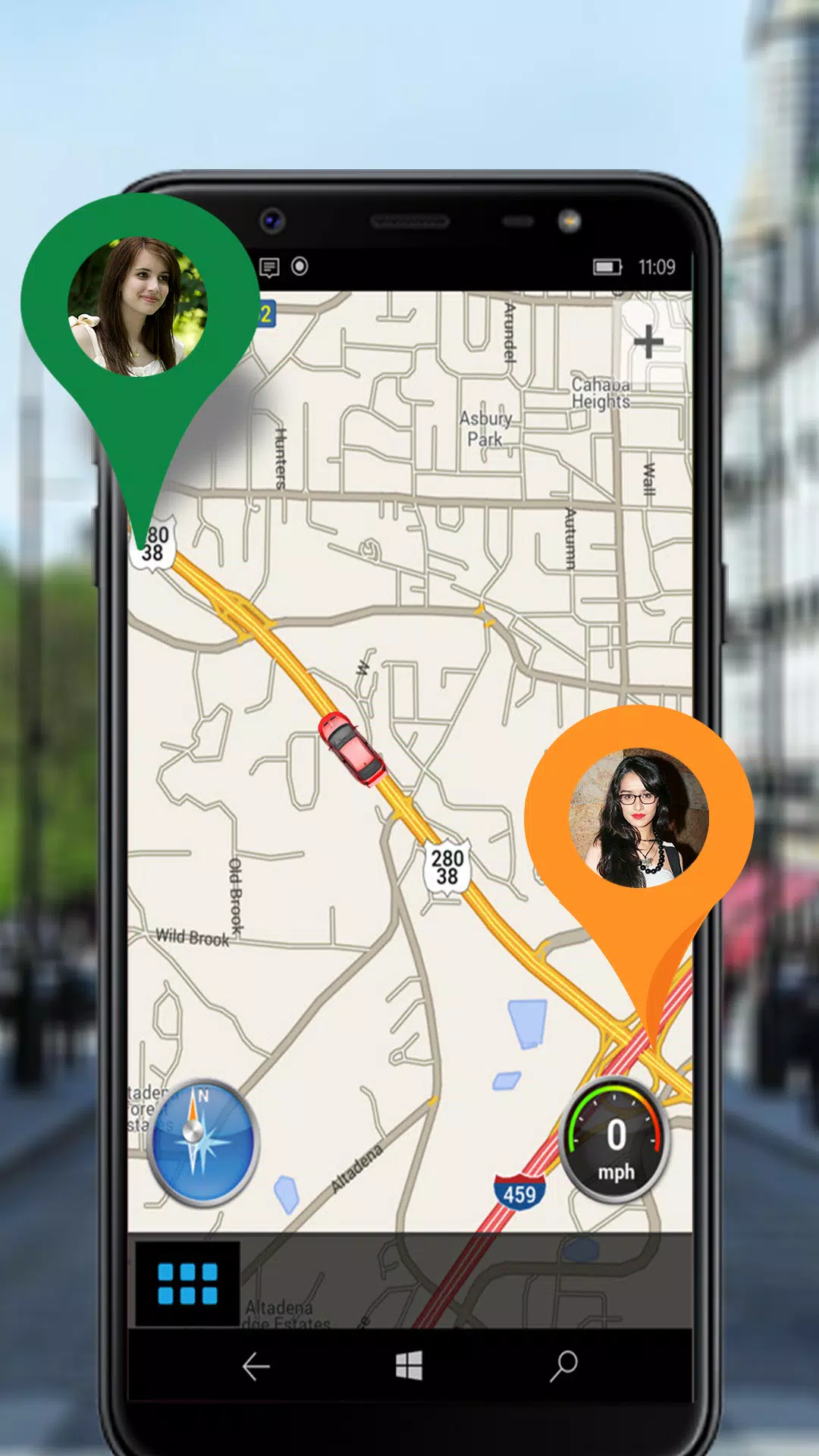
- Accurate GPS readouts: Latitude, longitude, altitude, speed, and bearing updated continuously for precise location tracking.
- Camera integration: Take photos with embedded coordinates, compass bearing, and timestamps for documentation and reporting.
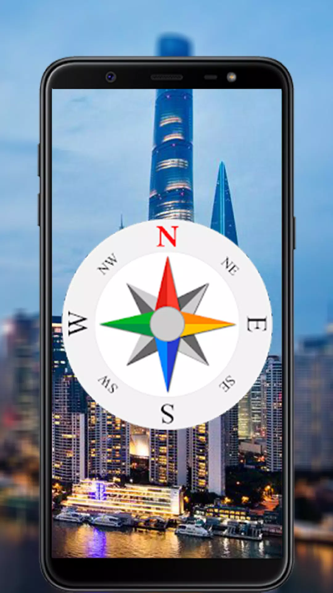
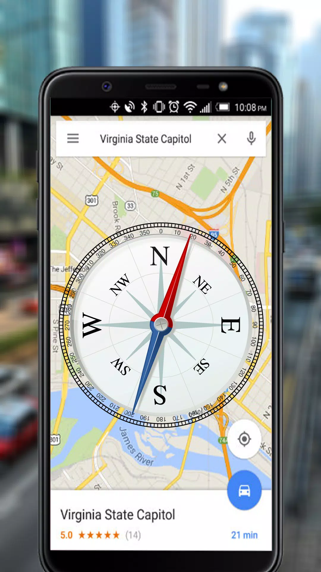
- Digital compass: Calibrated heading indicator that pairs with maps to show orientation in real time.
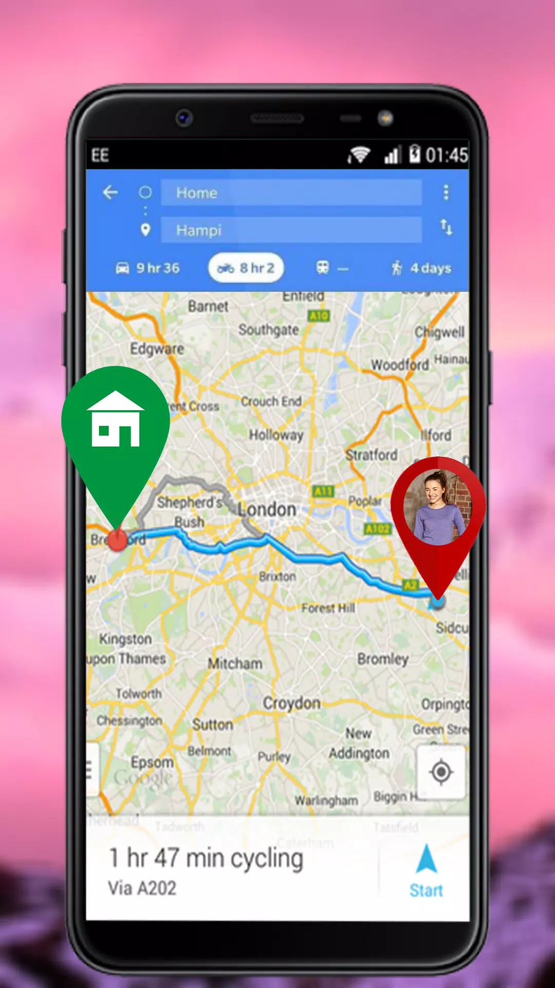
- Waypoints and tracks: Mark points of interest, record routes, and export GPX or KML files for sharing.
User interface and performance
The interface prioritizes clarity: large readouts for GPS metrics, a map view with layered controls, and a camera button that opens an overlay with orientation data. Performance is tuned to conserve battery while maintaining update rates suitable for hiking and driving. Map tiles load quickly on a decent connection, and the offline mode minimizes interruptions during long outings.
How it works in practical use
Using gps maps camera compass is straightforward. Start by selecting a map source and enabling GPS. Pin a location or begin recording a track. When you take a photo through the in-app camera, the image is stamped with coordinates and compass heading, which is especially useful for field surveys and inspections.
Customization and settings
Customization options let you adapt the app to different workflows. You can change coordinate formats (decimal degrees, DMS), switch units between metric and imperial, adjust GPS update intervals, and choose which overlays appear on the camera preview. These settings help balance precision and battery life depending on the task.
Data export and sharing
For post-processing, gps maps camera compass supports exporting tracks and waypoints in common formats such as GPX and KML. Photos saved with embedded metadata can be shared directly from the gallery or attached to reports. Integration with cloud storage or email simplifies transferring data to colleagues or desktop tools.
Tips for new users
- Calibrate the compass before the first use to improve heading accuracy.
- Download offline map regions for areas with poor cellular coverage.
- Enable higher GPS sampling when precise route mapping is required, but switch back to lower rates to save battery on long trips.
- Use the camera overlay to capture context with every photo; make a habit of recording a waypoint at the start and end of important segments.
Battery management is an important consideration: enabling GPS and continuous screen-on for camera preview will consume power. Consider carrying a power bank for extended fieldwork or using the app intermittently to extend device runtime.
Why professionals appreciate it
Surveyors, outdoor guides, and maintenance teams value the convergence of mapping, GPS, and photo documentation in a single app. The ability to create reproducible, georeferenced records without additional hardware reduces complexity and speeds up reporting. The export options also make it straightforward to bring captured data into GIS and asset-management systems.
First steps and installation
To get started, download and grant the app location and camera permissions. Review the tutorial or settings panel to set preferred map types and coordinate formats. Create a test waypoint and take a sample photo to confirm that coordinates and headings are being saved correctly.
gps maps camera compass aims to be a versatile, no-nonsense utility for anyone who needs reliable location, mapping, and visual documentation tools on Android. With sensible defaults and flexible settings, it is suited to casual users and professionals alike.
- No virus
- No advertising
- User protection
Information
- File size: 7.00 M
- Language: English
- Latest Version: 1.7
- Requirements: Android
- Votes: 245
- Package ID: com.navigation.findroute.locationsearch.routefinde
- Developer: Vinfo Apps
Screenshots
















Explore More
Make travel planning effortless with our all-in-one trip companion app! Get insider tips from locals on top attractions, hidden gems, restaurants, and accommodations at your destination. Book flights, rental cars, and hotels at the lowest prices. Access maps offline; track bookings, itineraries, and reservations; create shared group trips; and auto-translate menus, signs, and conversations abroad. Our clever algorithms surface personalized recommendations everywhere you go.

LINE MUSIC 音楽はラインミュージック

71 MOB - Motorista

Atlantic Health

آقای چراغ

All Beef Recipes Offline Book

Zaliha Kiraz

RADIOS GUIDE WORLD

1000 first date questions